Residential Infrastructure · War Damage · Preliminary Estimate
Strike on an Apartment Building in Konotop: Environmental Footprint
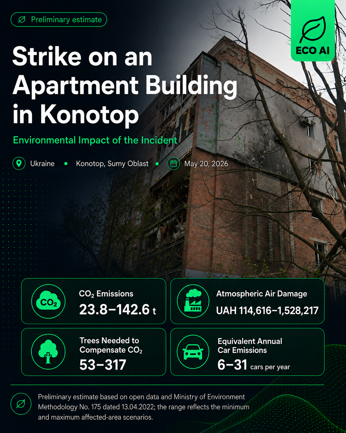
On the night of 19–20 May 2026, Russian forces launched a large-scale drone attack on Konotop in Sumy Oblast. A strike on a five-storey residential building destroyed floor slabs across three levels and damaged part of an entrance section. Other apartment blocks and private houses, vehicles, administrative buildings, a city hospital, and a local history museum were also damaged. Prosecutors reported that the attack continued from approximately 1:20 a.m. until 4:30 a.m.
Fires broke out at five locations across the city following the strikes. Additional emergency crews and canine teams were deployed, while rescue operations were temporarily suspended because of the threat of repeated attacks. All identified fires were later extinguished. Published material also shows burned rubble at the damaged apartment building.
The environmental footprint is associated with the combustion of residential and household materials, the detonation of munitions, and extensive structural destruction. Potential emissions include CO₂, smoke, soot, ash, fine particulate matter, and products of incomplete combustion.
Materials that may have burned include wooden furniture, textiles, plastics, cable insulation, paints and coatings, household appliances, thermal insulation, and interior finishing materials. Open sources do not provide the precise composition or mass of the materials consumed.
The scenario assessment uses an estimated object area of 6,000–15,000 m² and a possible fire-affected area of 300–1,800 m². The burning duration is modelled as unknown or lasting up to 12 hours. The lower boundary represents localised burning within the main damaged entrance section, while the upper boundary reflects a broader fire impact involving adjacent rooms and structures.
The tree figure represents only notional compensation for calculated CO₂ emissions, assuming planting and maintenance for at least 10 years. Trees do not remove soot, ash, fine particulate matter, plastics, heavy metals, contaminated firefighting water, or hazardous demolition waste.
Browse all preliminary environmental damage assessments published by ECO AI.